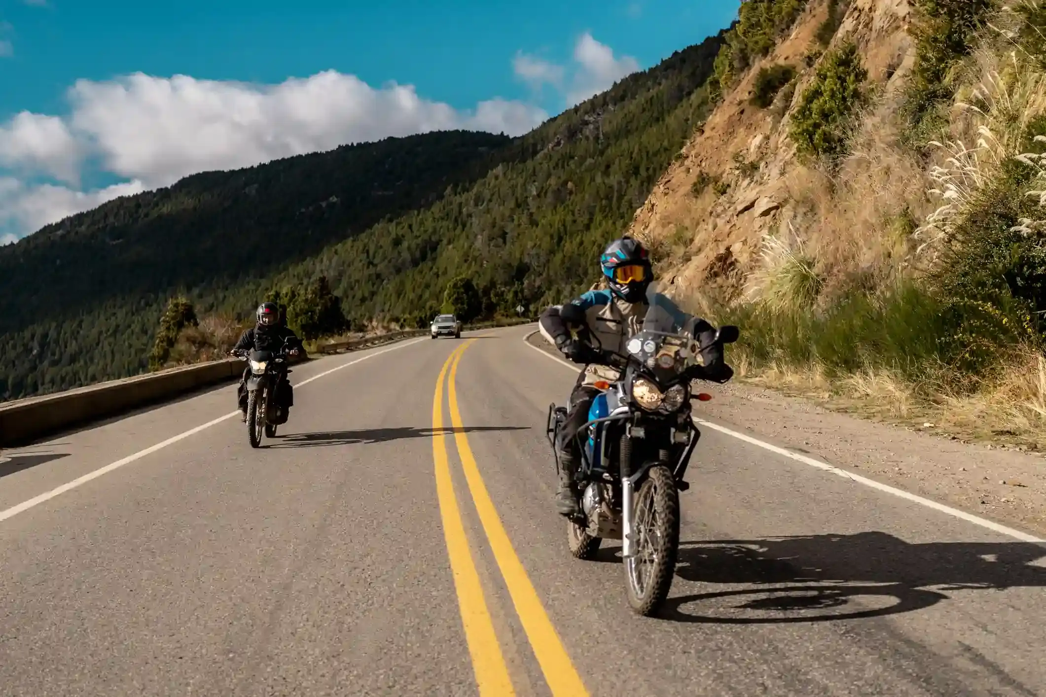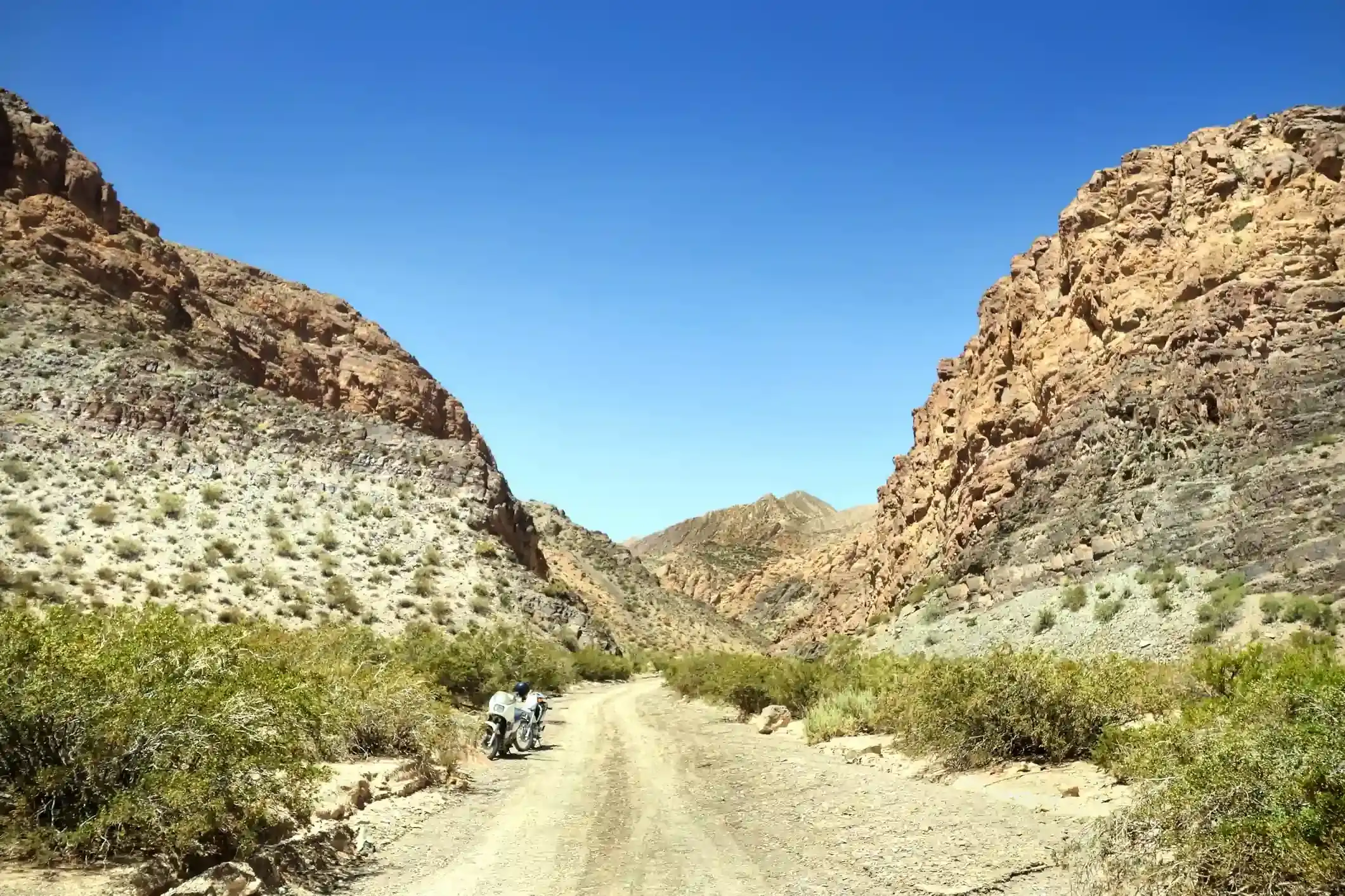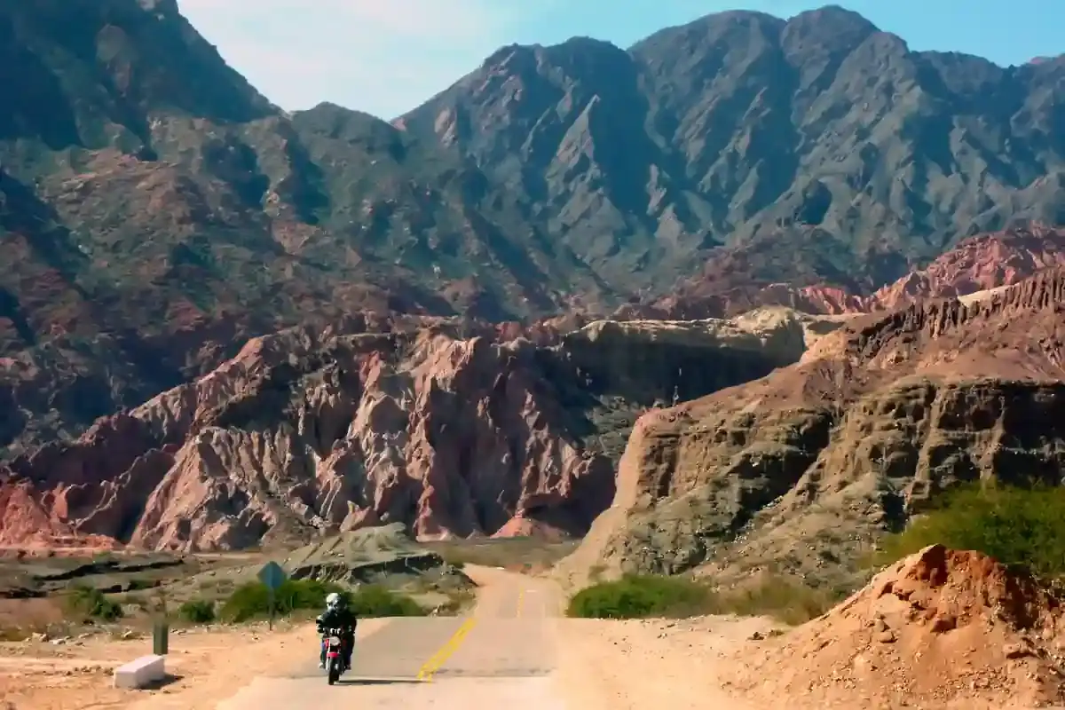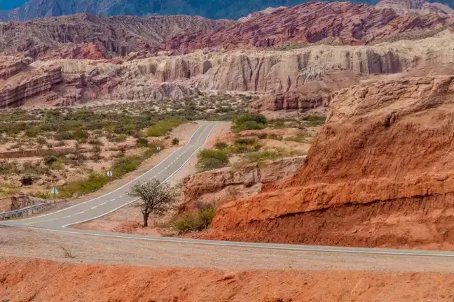
What this stretch is
The Quebrada de Humahuaca is a 150 km valley that Ruta 9 follows north from San Salvador de Jujuy toward Bolivia, and this segment covers the part that matters to a rider: 137 km from the city at 1,270 m to the town of Humahuaca at 2,960 m, through Yala, Volcán, Tumbaya, Purmamarca, Maimará, Tilcara, Huacalera and Uquía. The valley is a UNESCO World Heritage site for its 10,000 years of continuous settlement, and it looks the part: adobe villages, pre-Inca hill forts, and rock walls striped in every colour the mineral table allows.
The road is pavement end to end, 117 of the 137 km tagged as such in OpenStreetMap and most of the rest untagged asphalt; the 7 km of gravel are the side streets of the villages. It is a national highway with trucks and buses, straight for long stretches and climbing steadily; the hazards are the cyclists and llamas of the villages and the dust devils of the winter afternoons.
Fuel: fill before Purmamarca
Sixteen stations, twelve of them in Jujuy and its suburbs, then a Shell at Yala at kilometre 16, a YPF in Tilcara at kilometre 91, and the ACA in Humahuaca at the end. The gap that catches people is the 75 km from Yala to Tilcara with no pump at Purmamarca: the most visited village in the valley has no fuel station within 1.5 km of the road, and riders who plan to fill there do not. If tomorrow is the Hornocal and the day after is the Salinas Grandes run, Tilcara and Humahuaca are the pumps that matter. The fuel range calculator marks the segment as comfortable for any bike.
The weather
The Quebrada has two seasons. From December to March it is the rainy season, with 25 rainy days in January at the midpoint of the segment and highs around 21 °C; the rain falls in afternoon storms that can close the road with mud flows, especially between Volcán and Tumbaya. From May to September it is bone dry, with less than one rainy day a month in July, highs still around 21 °C, nights near freezing above Tilcara, and a strong afternoon wind: 16 days with gusts over 60 km/h in July. Ride it in the morning in winter and you miss the wind; ride it in the morning in summer and you miss the storms.
The riding window on the temperature numbers runs all year; the dry season from April to November is when the valley is at its best and when our departures run.
Stops and detours worth the time
Purmamarca. Three kilometres off Ruta 9 at the Ruta 52 junction, under the Cerro de los Siete Colores. The hill is best in the first hour after sunrise; the market in the square is open all day.
Maimará. The Paleta del Pintor hillside above the village cemetery, visible from the road.
Tilcara. The Pucará, a reconstructed pre-Inca fort on a hill above the town, and the Garganta del Diablo canyon walk a few kilometres up a side road.
Huacalera. The monolith on the Tropic of Capricorn, right beside the road at kilometre 110 or so.
Uquía. The church with its paintings of angels carrying muskets, the “ángeles arcabuceros”, from the 17th century.
Humahuaca. The town at the top, with the stone staircase to the Independence monument and the start of the road to the Hornocal.
Where to sleep
Purmamarca and Tilcara have the best choice of hotels and hosterías in the valley and both fill on weekends and holidays; Humahuaca is simpler and colder at night. Our itinerary sleeps in the valley two nights so that the Hornocal and the Salinas Grandes get separate days.
Riding it with us
The Quebrada is the second day of our Andean Highlands loop, ridden up from the Cornisa the day before and followed by the Hornocal. Read our planning guide for the altitude, and the top hidden routes for what branches off this valley.