What this stretch is
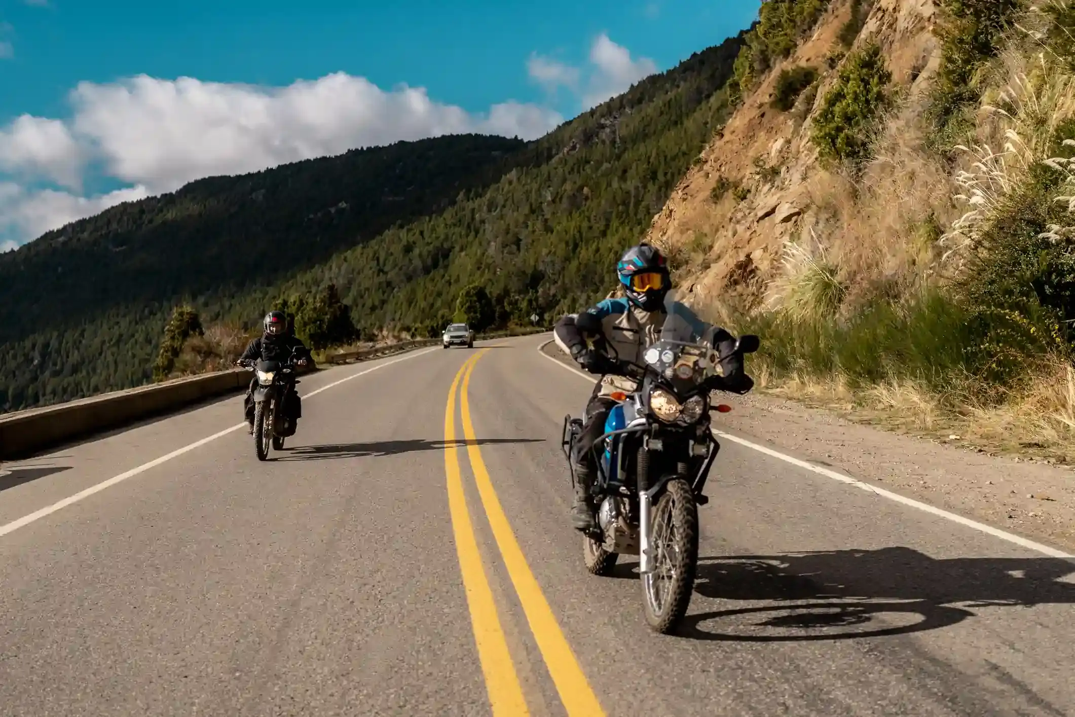
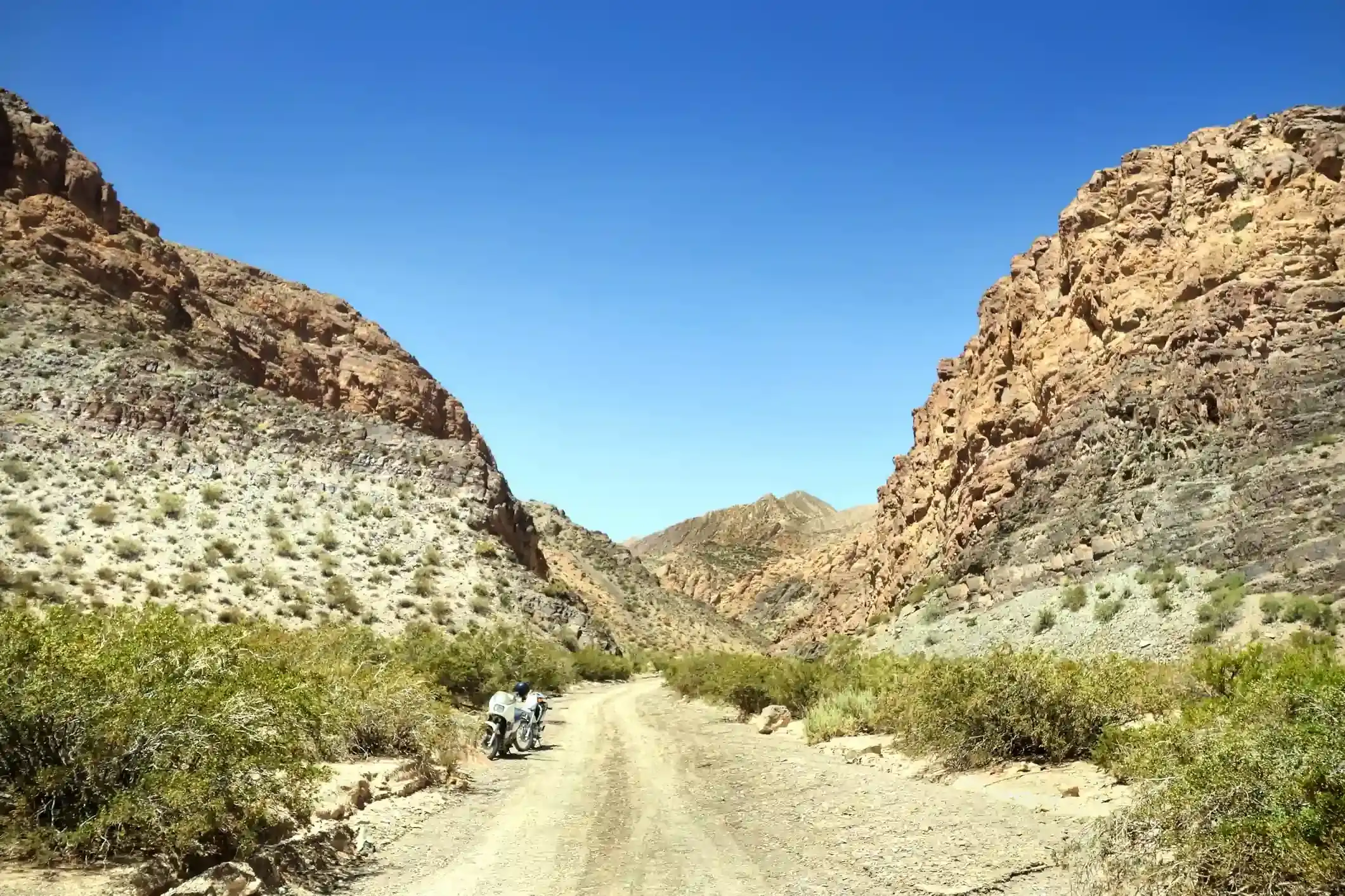
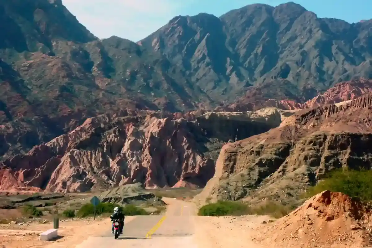
From Humahuaca, Ruta Provincial 73 crosses the river and climbs east into the hills, 25 km of gravel switchbacks that gain 1,300 m to a viewpoint on a ridge. Across the valley stands the Serranía del Hornocal, a wall of folded limestone in fourteen colours that has become the most photographed thing in Jujuy. The road is out and back: 33 km up, 33 km down, and nothing else on it.
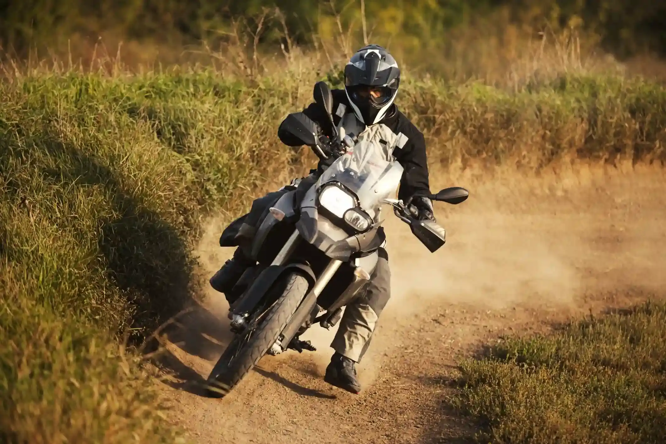
OpenStreetMap tags 32 of the 33 km as gravel, which is honest. It is a graded road, wide enough for the tourist minibuses, with washboard on the steeper ramps and loose stone on the outside of the hairpins. The climb is the thing: Humahuaca is at 2,950 m and the viewpoint is above 4,200 m by the elevation profile, so a carburetted bike loses a third of its power and any rider who came up from Salta two days ago feels the air.
Fuel: the ACA in Humahuaca, and that is all
One station on the segment, the ACA at the start in Humahuaca. Sixty-six kilometres there and back on gravel at altitude uses more fuel than the distance suggests, but no bike needs more than a quarter of a tank. The reason to fill in Humahuaca is tomorrow: the Salinas Grandes run has no fuel for 198 km. The fuel range calculator shows this segment as trivial.
The weather and the altitude
The climate point for this segment is near the viewpoint. Summer highs average 16 °C with 20 rainy days in January, mostly afternoon storms that make the gravel treacherous on the way down; winter highs average 12 °C with almost no rain, nights well below freezing, and a strong wind on the ridge, with 13 gusty days in October. Snow is rare but possible from June to August.
Altitude is the real variable. Ride up slowly, drink water, and do not plan to spend more than an hour at the top. If anyone in the group has a headache or nausea, the fix is to descend, and the road down takes forty minutes.
Stops and detours worth the time
The viewpoint. The light on the Hornocal is best from early afternoon, when the sun is behind you; in the morning the wall is in shadow. There is a small parking area, a shelter and usually a stall selling coca leaves and tea.
Humahuaca. Back in town, the Independence monument at the top of the stone staircase, the church, and the market stalls on the square.
Iruya. Not this road, but the other famous gravel out of the Quebrada: from Humahuaca north to Iturbe and then 50 km of switchbacks over a 4,000 m pass to a village hanging on a cliff. It is a full day and the subject of its own note one day.
Where to sleep
Humahuaca has hosterías and hostels; Tilcara and Purmamarca, 45 and 65 km back down the valley, have more choice and warmer nights, and our itinerary returns to the valley after the viewpoint.
Riding it with us
The Hornocal is the altitude test of our Andean Highlands loop: a short gravel climb above 4,000 m before the long puna days. Read our tips for navigating the Andes for riding at altitude, and the top 3 off-road adventure bikes if you are choosing a machine for roads like this.