What this stretch is
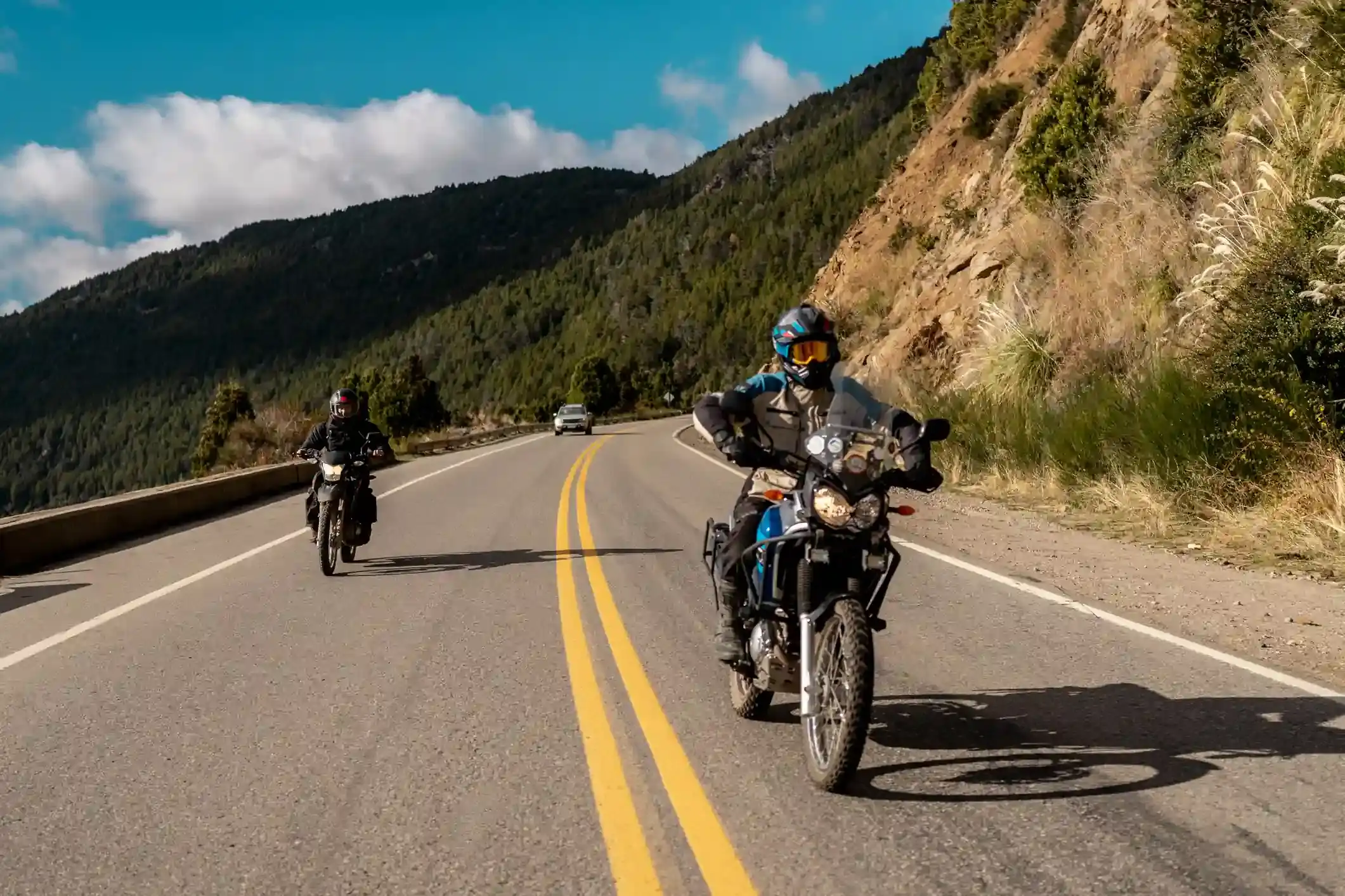
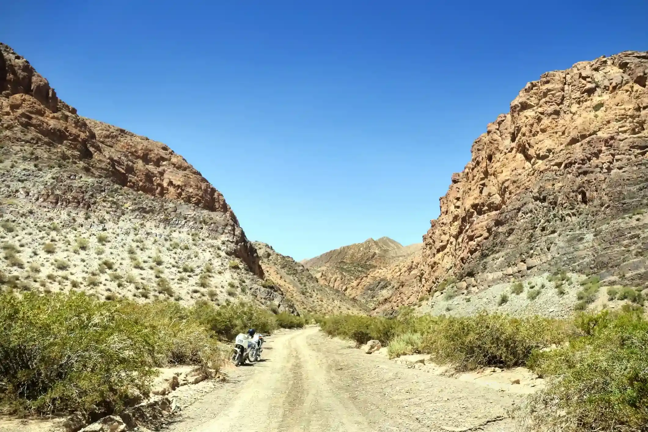
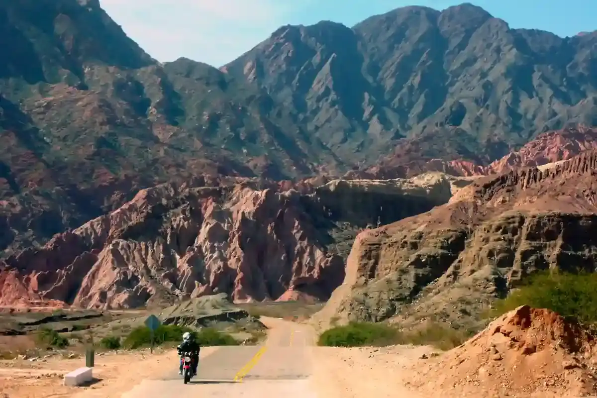
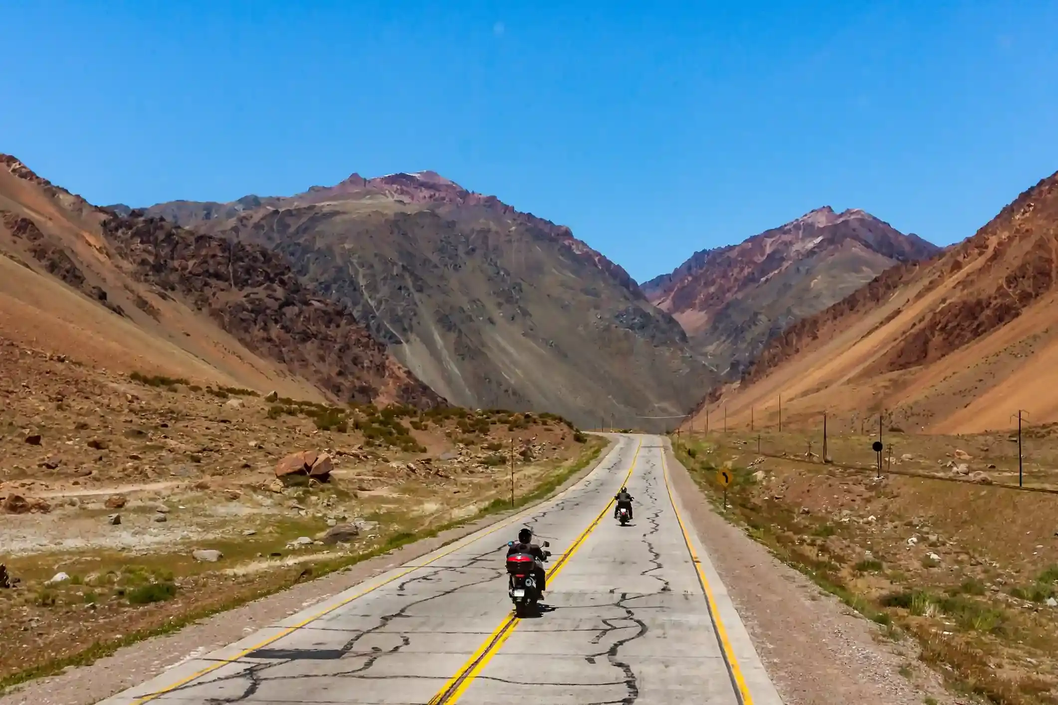
From Purmamarca at 2,300 m, Ruta 52 climbs the Cuesta de Lipán, 30 km of paved hairpins to a pass at about 4,170 m, and then drops onto the puna, the high plateau that runs from here to Bolivia and Chile. The Salinas Grandes salt flat spreads across the road at 3,450 m. Where Ruta 52 continues west to the Jama pass, our route turns south onto Ruta 40, which here is a gravel track across the plateau, and follows it for 60 km through nothing at all to San Antonio de los Cobres at 3,775 m, the mining town at the end of the Tren a las Nubes line.
OpenStreetMap tags 78 km as paved, the Lipán and the salt flat road, and 93 km as gravel, almost all of it the Ruta 40 section; 27 km are untagged puna track. The gravel is fast and firm when dry, with sand in the hollows and corrugations on the climbs, and it is the loneliest road on the loop: a vehicle every half hour, no villages, no shade, no signal.
Fuel: 198 km with no pump
Two stations on the segment and both are in San Antonio de los Cobres at the end. Purmamarca has no fuel, so the last pump before this segment is in Tilcara or Jujuy, which means a rider who did not fill the day before starts the day with 198 km of mountain and gravel ahead on whatever is in the tank. Our rule is to leave the Quebrada full and carry the day’s reserve in the van.
Altitude and gravel both raise consumption; the calculator’s gravel-and-wind setting adds 30 %, which is about right for the puna. Check your own bike against this segment in the fuel range calculator: a 14-litre tank is tight, a 20-litre tank is fine.
The weather and the wind
The climate point for this segment is on the plateau near the salt flat, and it is the windiest place in the Northwest: 18 days with gusts over 60 km/h in October, 16 in December, 10 in January, with an average daily maximum of 37 km/h in spring. The wind rises after midday and blows from the west across the salt, where there is nothing to stop it. Summer brings the rain, 14 rainy days in January, in storms that flood the salt flat and turn the puna track into clay; from April to September it is dry, cold at night, down to minus 3 °C on average in July, and clear.
The riding window on the temperature numbers runs all year. The real window is the dry season from April to November, and within it the mornings: on the puna the day is over by two in the afternoon, when the wind arrives.
Stops and detours worth the time
The Cuesta de Lipán. The viewpoint at the top of the climb looks back down the whole hairpin road to Purmamarca.
Salinas Grandes. The road crosses the salt on a causeway; the cooperative at the edge runs guided walks onto the flat and there are the inevitable forced-perspective photos. The salt is blinding at midday: sunglasses are not optional.
The Jama road. If you kept going west on Ruta 52 you would reach the Paso de Jama into Chile and the Atacama; that is a different trip.
San Antonio de los Cobres. The mining town at the end of the day, and the base for the Viaducto La Polvorilla, the 63 m high railway bridge of the Tren a las Nubes, 20 km west on Ruta 51. Our itinerary rides out to it before the Acay.
Where to sleep
Purmamarca at the start. On the plateau there is nothing. San Antonio de los Cobres has a hotel and a few hosterías, all basic and cold; at 3,775 m it is the highest night of the loop and the one where altitude headaches happen, so eat light and skip the wine.
Riding it with us
The Salinas day is the fourth day of our Andean Highlands loop and the first on the puna; the van carries water, fuel and the group’s luggage across the plateau. Read our tips for navigating the Andes for altitude and wind, and the Argentina and Chile documentation guide if the Jama road into Chile tempts you.