What this stretch is
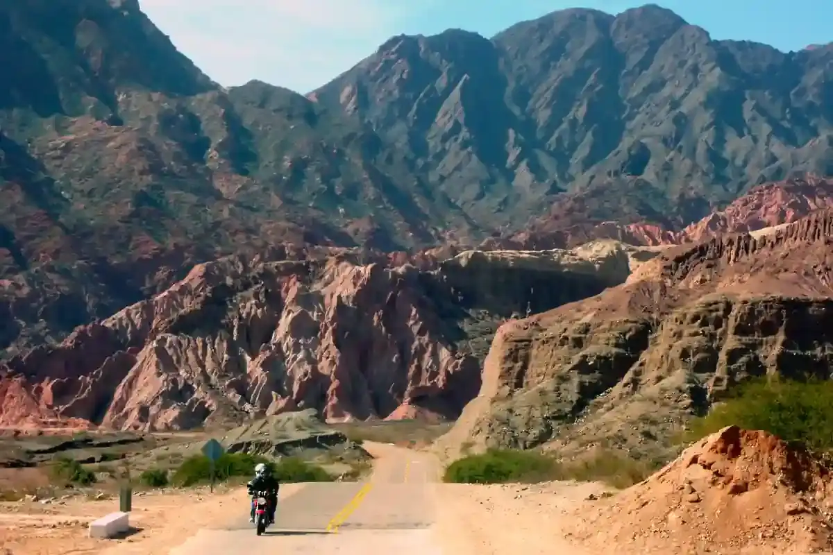
South of San Antonio de los Cobres, Ruta 40 leaves the Ruta 51 pavement and climbs as a gravel track up a bare valley to the Abra del Acay, the highest point on the whole 5,000 km of Ruta 40 and, by the elevation profile in our data, the highest point in this atlas at 4,944 m. From the pass the road drops into the head of the Calchaquí valley, past La Poma and its lava field, and follows the young Calchaquí river down to Payogasta and Cachi at 2,280 m. It is 144 km, 117 of them gravel.
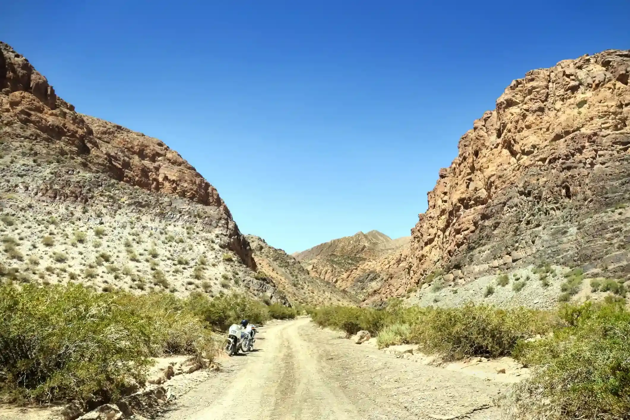
The gravel is the real kind. The climb to the pass is narrow, rocky in places, with tight hairpins and a few shallow water crossings; the descent is longer and easier. OpenStreetMap tags only 24 km as paved, the Ruta 51 section at the start and the approach to Cachi. The road is closed by snow a few times each winter and by washouts after summer storms; the police post in San Antonio knows whether it is open, and asking is not optional.
Fuel: 143 km with nothing, most of it above 3,500 m
Three stations on the segment: the Bandera Blanca and the YPF in San Antonio de los Cobres at the start, and the ACA in Cachi at the end. In between, 143 km without fuel, on gravel, with a pass near 4,900 m in the middle. There is no pump in La Poma. Altitude cuts an engine’s power and raises its consumption, so apply the gravel-and-wind setting in the fuel range calculator and look at what it says: a 16-litre bike arrives in Cachi with a quarter of a tank, a 14-litre bike is tight.
The weather and the wind
The climate point for this segment sits high in the valley, and the numbers describe the puna in winter: highs of 14 °C in July, nights at minus 3 °C on average and far colder on the pass, almost no rain, and 20 days with gusts above 60 km/h, rising to 22 in October. The wind is a westerly that hits the climb from the side and the descent from behind. Summer is milder and wetter, with 22 rainy days in January; the storms come in the afternoon and the water crossings on the climb become real crossings.
The riding window on the temperature numbers runs all year; in practice the Acay is a morning road in every season. Leave San Antonio at first light, be on the pass before eleven, and be below 3,500 m before the wind and the clouds arrive.
Altitude
This is the day the altitude counts. Riders sleep at 3,775 m in San Antonio and climb to nearly 4,900 m within two hours. Headache, nausea and shortness of breath are normal and are the reason not to stop long on the pass; the cure is the descent, and Cachi is 2,600 m lower. Carburetted bikes lose up to a third of their power at the top; fuel-injected bikes cope better but still feel soft. Keep the speed down on the loose climb, because a stall on a steep hairpin above 4,500 m is hard to recover from.
Stops and detours worth the time
The Viaducto La Polvorilla. Before leaving San Antonio, 20 km west on Ruta 51: the railway viaduct of the Tren a las Nubes, 63 m high and 224 m long, at 4,200 m. Our itinerary rides out to it the evening before or the morning of the Acay.
The Abra del Acay sign. The pass has a sign giving the altitude and, on a clear day, a view north over the whole puna. Five minutes, a photo, and down.
La Poma. The village below the pass, rebuilt after the 1930 earthquake, with the ruins of the old town and the black lava flows of the Volcanes Gemelos beside the road.
Payogasta and Cachi. The first irrigated fields, poplar trees, adobe churches and, in Cachi, the finest colonial square in the valleys under the snow of the Nevado de Cachi.
Where to sleep
San Antonio de los Cobres at the start, cold and basic. Nothing on the road. Cachi at the end has the best hotels in the Calchaquí valleys, and our itinerary gives it the evening and the next morning before Ruta 40 south.
Riding it with us
The Acay is the summit day of our Andean Highlands loop, with the van behind the group carrying fuel, water and the first-aid oxygen. Read our tips for navigating the Andes for altitude, and the Ruta 40 rider’s guide for the other end of this same road, 4,000 km to the south.