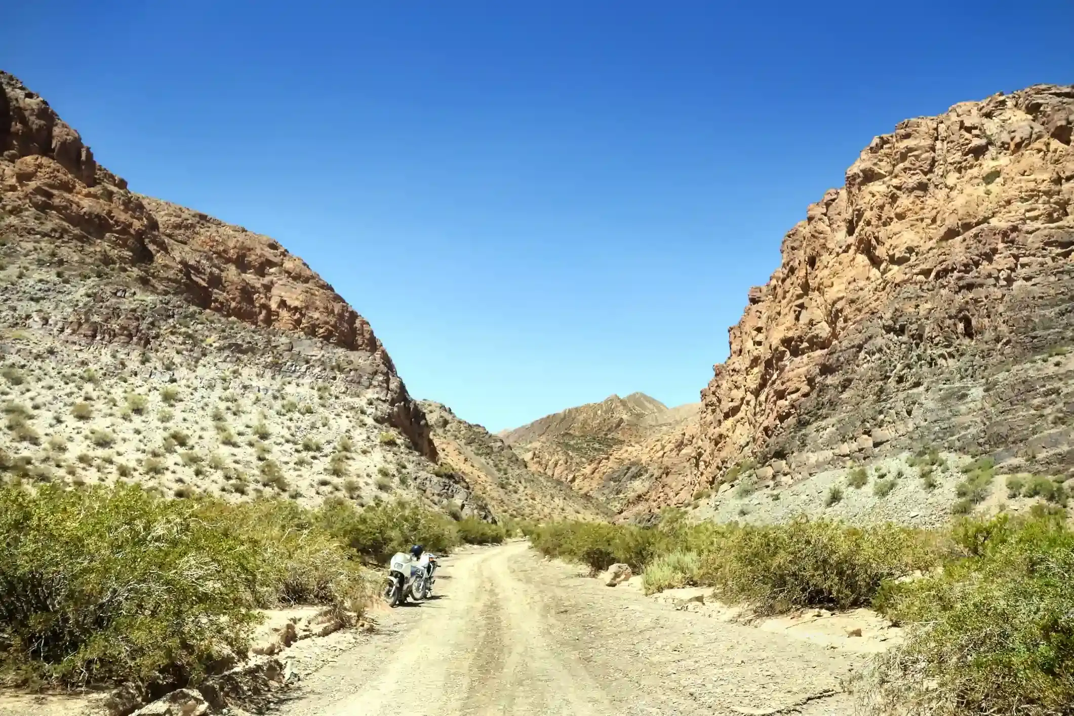
A motorcycle parked beside a gravel road in a dry rocky canyon
Andean Highlands route

Cachi to Cafayate on Ruta 40: Molinos, the Quebrada de las Flechas and 128 km of gravel

The Calchaquí valley day: 159 km of Ruta 40 gravel through adobe villages, vineyards at 2,000 m and the sandstone blades of the Quebrada de las Flechas, ending among the wineries of Cafayate.

North to south, the sixth riding day of our Andean Highlands loop. Data computed 2026-10-20, notes updated 2026-10-21.

  • 159 km99 miles
  • 17 % paved128 km gravel, 4 km untagged
  • 2,339 mhighest point, 694 m of climbing
  • 7 fuel stopslongest gap 47 km
  • 3 to 4 hriding time, stops not included
  • 19 windy daysgusts over 60 km/h in Oct
50 100 150 km 1: ACA, Cachi km 29: Bandera Blanca, Seclantás km 46: Bandera Blanca, Molinos km 88: Bandera Blanca, Angastaco km 135: Bandera Blanca, San Carlos km 157: Refinor, Cafayate km 158: ACA, Cafayate Cachi Molinos Cafayate
Route traced on real roads with OSRM; orange dots are fuel stations within 1.5 km of the road, numbers are kilometres from the start. Open the area in OpenStreetMap.
1,596 m 1,968 m 2,339 m Cachi Seclantás Molinos Angastaco San Carlos Cafayate 0 km 159 km
Elevation every kilometre (SRTM via Open-Meteo), from 1,596 to 2,339 m. Dashed lines are fuel stations.

What this stretch is

From Cachi, Ruta 40 runs south down the Calchaquí valley for 159 km to Cafayate, and for most of that distance it is still the gravel road it has always been: 128 km of it by OpenStreetMap’s count, against 27 km of pavement in and around the villages and the approach to Cafayate. The valley is dry, bright and high, between 1,600 and 2,340 m, with poplar-lined villages every 40 km: Seclantás, Molinos, Angastaco, San Carlos. Between Angastaco and San Carlos the road enters the Quebrada de las Flechas, where sandstone strata tilted almost vertical form blades and arrows on both sides of the track for 20 km.

The gravel is good by Ruta 40 standards, graded and wide, with the usual washboard on the straights and soft sand where the side rivers cross. The paving of this section has been promised for years and advances a few kilometres at a time; expect short new stretches of asphalt between the villages and construction detours where the next ones are being built.

Fuel: a village pump every 40 to 50 km

Seven stations on the segment, and this is the best-served gravel day of the loop: the ACA in Cachi, small “bandera blanca” pumps in Seclantás at kilometre 29, Molinos at 46, Angastaco at 88 and San Carlos at 135, and the Refinor and ACA in Cafayate. The longest gap is 47 km, Angastaco to San Carlos. The village pumps are single pumps that take cash and keep village hours, so they are a backup rather than a plan: leave Cachi full and the fuel range calculator marks every gap as comfortable.

The weather

The Calchaquí valley is warm and dry: highs of 26 °C in summer and 21 °C in July at the midpoint, with almost no winter rain. Summer brings 18 rainy days in January in afternoon storms that send the side rivers across the road; the crossings between Molinos and Angastaco are the ones that stop traffic. Spring is the windy season, with 19 gusty days in October and 10 in December, when the wind funnels down the valley in the afternoon and lifts the dust off the gravel.

The riding window on the temperature numbers runs all year. The dry season from April to November is the time, and within it the autumn, when the vineyards turn and the storms are over.

Stops and detours worth the time

Seclantás. The weavers’ village, with the Camino de los Artesanos loop on the far bank of the river where the ponchos of Salta are still made on hand looms.

Molinos. The Hacienda de Molinos, an 18th-century estancia turned hotel on the square, and 20 km of gravel up a side valley to the Colomé winery, the highest commercial vineyard in the world at 2,300 m.

Angastaco. Lunch, and the entrance to the Quebrada de las Flechas, where the road squeezes between the blades at the El Ventisquero pass.

San Carlos. The first village on pavement, with the old church and the first wineries of the Cafayate district.

Cafayate. The wine town of the Northwest, at 1,680 m, with torrontés on every corner and the Quebrada de las Conchas waiting for tomorrow.

Where to sleep

Cachi at the start, Cafayate at the end; both have excellent hotels and both book up at Easter and in July. Molinos is the stop if you split the day. Our itinerary rides it in one day with a long lunch in Angastaco.

Riding it with us

This is the gravel valley day of our Andean Highlands loop, after the Acay and before the Quebrada de las Conchas. Read the Ruta 40 rider’s guide for the rest of the road, and the top 3 off-road adventure bikes for what to ride it on.
Fuel stations and gaps

Stations mapped in OpenStreetMap within 1.5 km of the road, with the kilometre from Cachi. Hours are what OSM has, often nothing. Check this segment against your tank.

kmStationTownHours (OSM)
1ACA (YPF)Cachi
29Bandera BlancaSeclantás
46Bandera BlancaMolinos
88Bandera BlancaAngastaco
135Bandera BlancaSan Carlos
157RefinorCafayate
158ACA (YPF)Cafayate
  • 47 km Angastaco (km 88) to San Carlos
  • 42 km Molinos (km 46) to Angastaco
  • 28 km Cachi (km 1) to Seclantás
  • 22 km San Carlos (km 135) to Cafayate

Surface and roads

Kilometres by the surface tag of each road in OpenStreetMap. "Untagged" is road nobody has labelled yet, usually recent asphalt on main routes and gravel on minor ones.

  • Paved 27 km
  • Gravel and dirt 128 km
  • Untagged 4 km

Roads, by length: RN40 150 km.

Weather by month, ten years measured

ERA5 reanalysis, 2016 to 2025, at a point halfway along the segment (-25.64, -66.17). Temperatures are the monthly mean of the daily high and low; wind is the mean daily maximum; gusty days count days with gusts above 60 km/h. The riding window on these numbers runs all year, with Jul the calmest month inside it. Compare regions in the season planner.

MonthHigh °CLow °CWind km/hGusty daysRain daysSnow days
Jan 26 15 19 3 18 0
Feb 26 15 19 2 15 0
Mar 25 13 19 2 10 0
Apr 24 11 20 3 5 0
May 22 7 18 1 2 0
Jun 21 5 16 2 1 0
Jul 21 4 16 1 0 0
Aug 22 5 20 4 1 0
Sep 25 8 23 12 2 0
Oct 26 11 25 19 4 0
Nov 26 13 24 18 7 0
Dec 26 15 22 10 14 0
Read before you ride

Guides for this road

Motorcycle on a gravel road through a rocky Patagonian canyon under clear blue sky. Patagonia

The Best Time to Ride Patagonia: Month-by-Month Guide

In early January, the wind on the southern stretch of Ruta 40 between Perito Moreno and El Calafate can push a fully loaded adventure bike sideways across half a lane, in broad daylight, on dry...

12 min read
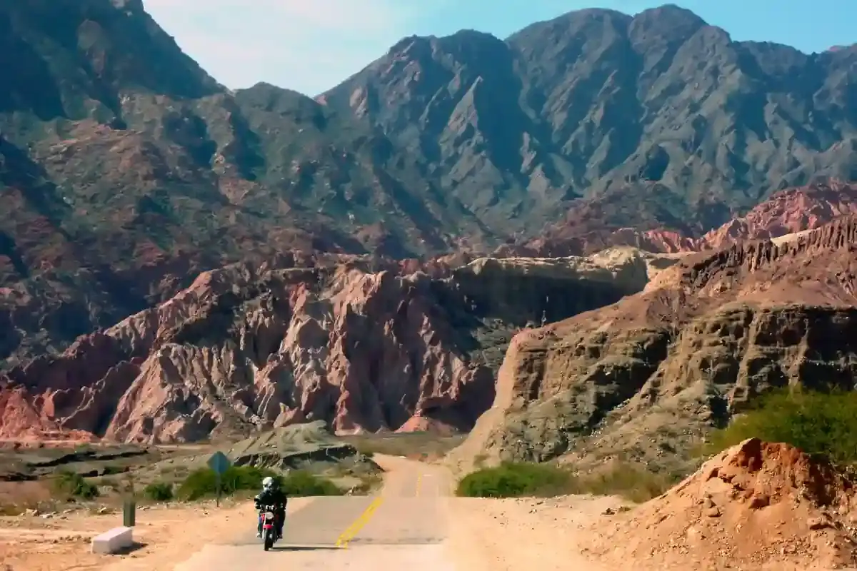
A motorcycle rider on a paved road approaching the red rock formations of the Quebrada de las Conchas near Cafayate, Argentina. Tips

How to Plan a Motorcycle Trip to Argentina: A 2026 Guide

Somewhere around the third planning session, every rider runs into the same wall: Argentina is 3,700 km (2,300 mi) long from the subtropical north to Tierra del Fuego, the riding seasons in those...

14 min read
Ride it with the van behind you

This is a day on our Patagonia itinerary.

Small groups of 4 to 8 riders, a support van with spare fuel for the Bajo Caracoles gap, and guides who know which pump is open this week.