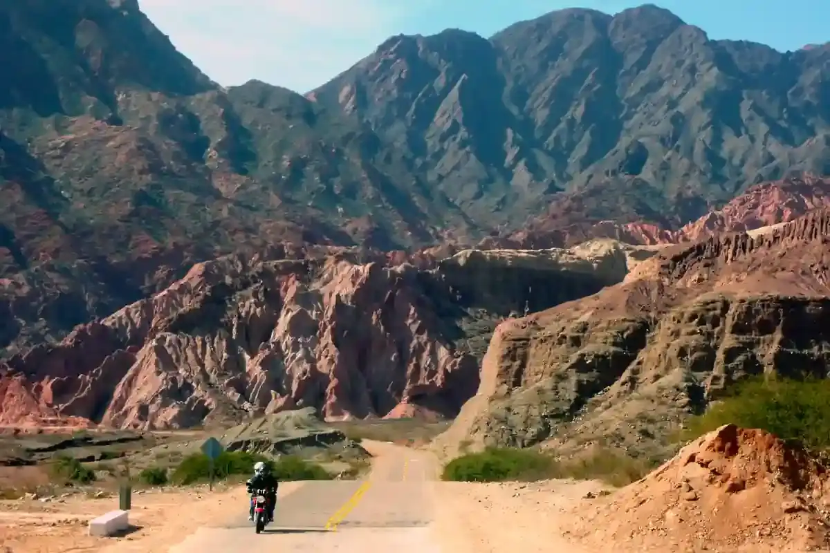
A motorcycle rider on a paved road below red rock cliffs near Cafayate
Andean Highlands route

Cafayate to Salta through the Quebrada de las Conchas on Ruta 68

The red canyon day: 189 km of pavement from the vineyards of Cafayate through the Quebrada de las Conchas, past the Garganta del Diablo and the Anfiteatro, down to the Cabra Corral dam and into Salta. One gap of 102 km.

South to north, the seventh riding day of our Andean Highlands loop. Data computed 2026-10-20, notes updated 2026-10-21.

  • 189 km117 miles
  • 91 % paved3 km gravel, 15 km untagged
  • 1,630 mhighest point, 797 m of climbing
  • 29 fuel stopslongest gap 102 km
  • 2.5 to 3 hriding time, stops not included
  • 2 windy daysgusts over 60 km/h in Oct
50 100 150 km 1: ACA, Cafayate km 2: Refinor, Cafayate km 104: Bandera Blanca, La Viña km 153: YPF, El Carril km 166: YPF, La Merced km 173: Bandera Blanca, Cerrillos km 174: Shell, Cerrillos km 174: Bandera Blanca, Cerrillos km 181: YPF, Salta km 182: YPF, Salta km 182: Refinor, Salta km 183: Shell, Salta km 183: Axion, Salta km 185: Axion, Salta km 185: YPF, Salta km 186: YPF, Salta km 186: Bandera Blanca, Salta km 186: Refinor, Salta km 187: YPF, Salta km 187: Bandera Blanca, Salta km 187: YPF, Salta km 188: YPF, Salta km 188: Axion, Salta km 188: YPF, Salta km 189: YPF, Salta km 189: Refinor, Salta km 189: Bandera Blanca, Salta km 189: YPF, Salta km 189: YPF, Salta Cafayate Salta
Route traced on real roads with OSRM; orange dots are fuel stations within 1.5 km of the road, numbers are kilometres from the start. Open the area in OpenStreetMap.
1,062 m 1,346 m 1,630 m Cafayate La Viña El Carril 0 km 189 km
Elevation every kilometre (SRTM via Open-Meteo), from 1,062 to 1,630 m. Dashed lines are fuel stations.

What this stretch is

Ruta 68 from Cafayate to Salta is the showpiece paved road of the Northwest. For its first 80 km it follows the Río de las Conchas down a canyon of red sandstone carved into shapes that have all been named: Los Castillos, El Obelisco, El Anfiteatro, La Garganta del Diablo, Los Médanos, Las Tres Cruces. Then the valley opens, the road passes the ghost railway station at Alemania and the Cabra Corral reservoir, and the last 60 km cross the farmland of the Lerma valley through La Viña, El Carril and Cerrillos into Salta.

It is 189 km, all of it pavement: OpenStreetMap tags 171 km as paved and the rest as untagged asphalt, with 3 km of gravel on the side roads to the viewpoints. The road is smooth and fast, which on this segment is a hazard in itself: the canyon has blind curves with tour buses stopped in them, and the Lerma valley has trucks, farm vehicles and the heaviest traffic of the loop on the approach to Salta.

Fuel: 102 km from Cafayate to La Viña

Twenty-nine stations, but twenty-six of them are in Cafayate at the start and in the suburbs of Salta at the end. The one that matters in between is the pump at La Viña at kilometre 104, which makes the longest gap 102 km from Cafayate, through the whole canyon with no fuel. Any bike covers it; the point is to leave Cafayate full rather than discover at the Garganta del Diablo that you did not. From La Viña there is fuel in El Carril, Cerrillos and every few kilometres into the city. The fuel range calculator marks the segment as comfortable for every preset.

The weather

This is the hottest segment in the atlas: January highs average 28 °C at the midpoint, with 20 rainy days a month in summer storms; July highs are still 20 °C with almost no rain. The canyon is an oven after noon in summer, and the storms arrive in the afternoon, so the canyon is a morning ride. Wind is negligible except in October, with two or three gusty days.

The riding window on the temperature numbers runs all year; it is the one segment of the loop that is rideable in any month, and the Lerma valley is pleasant even in July.

Stops and detours worth the time

Los Castillos and the Anfiteatro. The two most-visited formations, 50 and 45 km from Cafayate, with parking and walks into the rock. The Anfiteatro is a natural amphitheatre where musicians play for the acoustics; the Garganta del Diablo next to it is a narrow slot in the wall.

Alemania. The abandoned railway station from the 1920s at the mouth of the canyon, now a craft market and a photo stop.

Cabra Corral. The reservoir on the Río Juramento, with rafting on the river below the dam. Our itinerary stops here for the rafting, which is the only time on the loop that anyone gets wet on purpose.

La Viña and Coronel Moldes. The farm towns of the lower valley, and the tobacco fields that make the Lerma valley the tobacco capital of Argentina.

Where to sleep

Cafayate at the start, with its wine hotels. Salta at the end, where the loop began. There is nothing worth a night between them except the lakeside cabins at Cabra Corral.

Riding it with us

The Quebrada de las Conchas is the penultimate day of our Andean Highlands loop, with the rafting at the Juramento river on the way. Read the top hidden routes for the gravel alternatives around this valley, and the planning guide for how the Northwest fits into a longer trip.
Fuel stations and gaps

Stations mapped in OpenStreetMap within 1.5 km of the road, with the kilometre from Cafayate. Hours are what OSM has, often nothing. Check this segment against your tank.

kmStationTownHours (OSM)
1ACA (YPF)Cafayate
2RefinorCafayate
104Bandera BlancaLa Viña
153YPFEl Carril
166YPFLa Merced
173Bandera BlancaCerrillos
174ShellCerrillos
174Bandera BlancaCerrillos
181YPFSalta
182YPFSalta
182RefinorSalta
183ShellSalta
183AxionSalta
185AxionSalta
185YPFSalta
186YPFSalta
186Bandera BlancaSalta
186RefinorSalta
187YPFSalta
187Bandera BlancaSalta
187YPFSalta
188YPFSalta
188AxionSalta
188YPFSalta
189YPFSalta24/7
189RefinorSalta
189Bandera BlancaSalta
189YPFSalta
189YPFSalta
  • 102 km Cafayate (km 2) to La Viña
  • 49 km La Viña (km 104) to El Carril
  • 13 km El Carril (km 153) to La Merced

Surface and roads

Kilometres by the surface tag of each road in OpenStreetMap. "Untagged" is road nobody has labelled yet, usually recent asphalt on main routes and gravel on minor ones.

  • Paved 171 km
  • Gravel and dirt 3 km
  • Untagged 15 km

Roads, by length: RN68 169 km.

Weather by month, ten years measured

ERA5 reanalysis, 2016 to 2025, at a point halfway along the segment (-25.54, -65.56). Temperatures are the monthly mean of the daily high and low; wind is the mean daily maximum; gusty days count days with gusts above 60 km/h. The riding window on these numbers runs all year, with Jan the calmest month inside it. Compare regions in the season planner.

MonthHigh °CLow °CWind km/hGusty daysRain daysSnow days
Jan 28 19 13 0 20 0
Feb 27 19 12 0 19 0
Mar 25 17 12 0 18 0
Apr 22 15 11 0 14 0
May 20 11 10 0 8 0
Jun 19 7 10 0 3 0
Jul 20 8 11 0 3 0
Aug 23 9 13 1 2 0
Sep 25 12 15 1 3 0
Oct 27 15 17 2 8 0
Nov 28 17 17 1 12 0
Dec 28 18 14 1 18 0
Read before you ride

Guides for this road

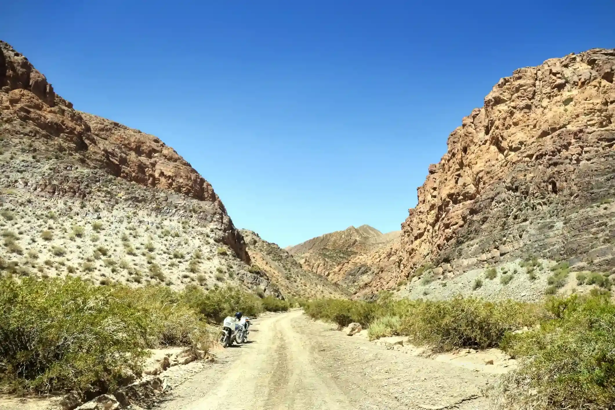
Motorcycle on a gravel road through a rocky Patagonian canyon under clear blue sky. Patagonia

The Best Time to Ride Patagonia: Month-by-Month Guide

In early January, the wind on the southern stretch of Ruta 40 between Perito Moreno and El Calafate can push a fully loaded adventure bike sideways across half a lane, in broad daylight, on dry...

12 min read
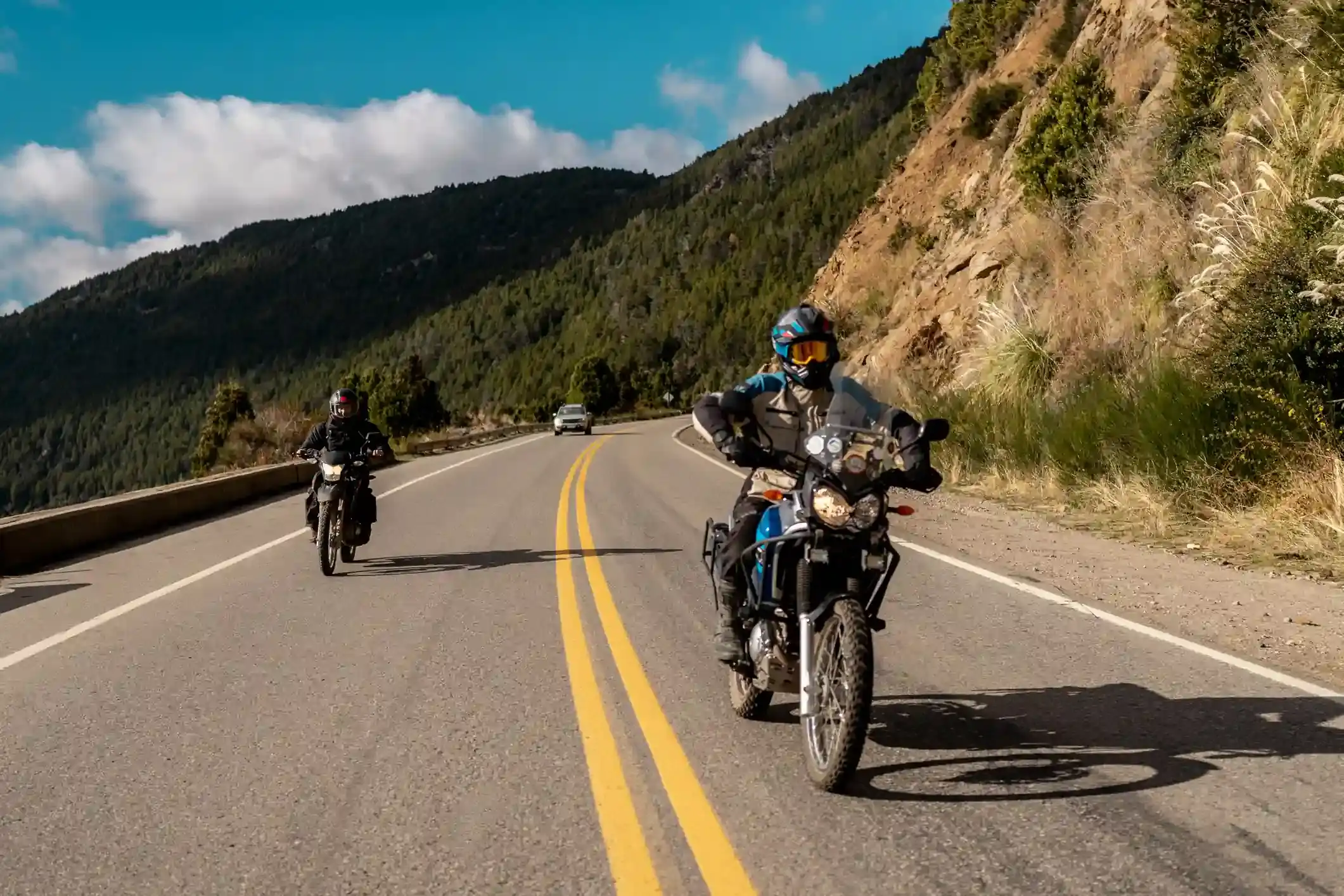
A motorcycle rider on a paved road approaching the red rock formations of the Quebrada de las Conchas near Cafayate, Argentina. Tips

How to Plan a Motorcycle Trip to Argentina: A 2026 Guide

Somewhere around the third planning session, every rider runs into the same wall: Argentina is 3,700 km (2,300 mi) long from the subtropical north to Tierra del Fuego, the riding seasons in those...

14 min read
Ride it with the van behind you

This is a day on our Patagonia itinerary.

Small groups of 4 to 8 riders, a support van with spare fuel for the Bajo Caracoles gap, and guides who know which pump is open this week.