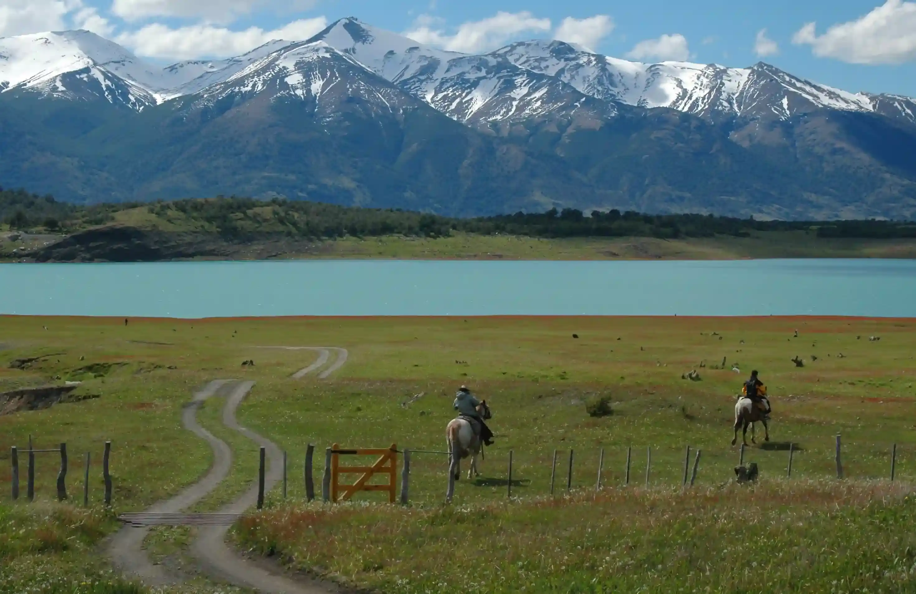
Riders on horseback by a turquoise lake under snowy Andean peaks
Andes Crossing route

Osorno to Lago Ranco: the warm-up day into Chile's lake district

The first day on the Chilean bikes: 81 km of green farmland and one of the largest lakes in Chile, with fuel on every corner and the first taste of gravel on the lakeshore roads.

West to east, the first riding day of our Andes Crossing. Data computed 2026-10-20, notes updated 2026-10-21.

  • 81 km50 miles
  • 75 % paved15 km gravel, 6 km untagged
  • 238 mhighest point, 531 m of climbing
  • 25 fuel stopslongest gap 44 km
  • 1 to 1.5 hriding time, stops not included
  • 4 windy daysgusts over 60 km/h in Jun
50 km 0: Shell, Osorno km 0: Aramco, Osorno km 0: Copec, Osorno km 0: Copec, Osorno km 0: Aramco, Osorno km 0: Copec, Osorno km 0: Shell, Osorno km 0: Aramco, Osorno km 0: Shell, Osorno km 0: Autogasco, Osorno km 1: Aramco, Osorno km 1: Shell, Osorno km 1: Aramco, Osorno km 2: Copec, Osorno km 2: Shell, Osorno km 2: Copec, Osorno km 2: Shell, Osorno km 2: Terpel, Osorno km 3: Shell, Osorno km 7: Aramco, Osorno km 17: Copec, Copec km 18: Copec, Copec km 36: Copec, Río Bueno km 36: Aramco, Río Bueno km 37: Shell, Río Bueno Osorno Lago Ranco
Route traced on real roads with OSRM; orange dots are fuel stations within 1.5 km of the road, numbers are kilometres from the start. Open the area in OpenStreetMap.
26 m 132 m 238 m Osorno Copec Río Bueno 0 km 81 km
Elevation every kilometre (SRTM via Open-Meteo), from 26 to 238 m. Dashed lines are fuel stations.

What this stretch is

Osorno is where the Andes Crossing begins, because that is where the Chilean motorcycles live. The first day is short on purpose: 81 km from the city to the village of Lago Ranco on the south shore of the lake of the same name, through the dairy country of the Los Ríos region. Ruta 5, the Pan-American, carries you north for 23 km; then the road turns east at Río Bueno and narrows to two lanes between fields, poplars and volcano views until the lake appears.

OpenStreetMap tags 61 of the 81 km as paved and 14 km as gravel or dirt, most of it on the lakeshore roads around the village. The asphalt is Chilean-standard, which means good. The hazards are farm traffic, slow trucks on Ruta 5, and the first gravel of the trip on a bike you picked up yesterday.

Fuel: everywhere, then 44 km

This is the easiest fuel day of the tour. Twenty-five stations within 1.5 km of the road, nineteen of them in and around Osorno and three in Río Bueno at kilometre 36. From Río Bueno to Lago Ranco there is nothing for 44 km, which matters only if you left Osorno without filling. Chilean stations are Copec, Shell and Aramco, take cards everywhere, and sell 93, 95 and 97 octane; use 95 or better on a modern adventure bike.

Fuel in Chile costs more than in Argentina. That is not a reason to arrive at the border on fumes: fill in Osorno, fill again in Río Bueno if you like, and the fuel range calculator will tell you the day is comfortable on any tank.

The weather

The Chilean side of the Andes is the wet side. At the midpoint of this segment the average summer high is 23 °C in January with five or six rainy days a month; by April it rains 13 days a month and in July 16, with a daily high of 10 °C. Wind is not a factor: the reanalysis counts less than one day a month with gusts over 60 km/h all summer. Pack a proper waterproof layer for the whole tour regardless of the month, because the next three days are wetter than this one.

Stops and detours worth the time

Río Bueno. The last town before the lake, at kilometre 36, with the old Fuerte San José fort above the river. A coffee stop, nothing more.

The Lago Ranco loop. A road circles the whole lake through Futrono and Llifén on the north shore and Riñinahue on the south, about 120 km with gravel sections and the Saltos del Nilahue waterfalls on the east side. It is the natural half-day extension if you arrive early and want to settle into the bike.

The volcanoes. On a clear day the cones of Puyehue and Osorno sit on the eastern horizon the whole way. The Osorno volcano, the perfect one, is south of the route above Lago Llanquihue, an hour from the city.

Where to sleep

Osorno has business hotels near Ruta 5 and is where the bikes are collected the day before. Lago Ranco village has cabins, lakeside lodges and a campsite, and is quiet outside February. Futrono, on the north shore, has more choice if the loop takes you that way.

Riding it with us

This is day one on the bikes of our Andes Crossing from Osorno: a gentle start so that the paperwork, the luggage and the gravel are all sorted before the Hua Hum crossing. Read the Argentina and Chile documentation guide before you arrive, and use the border crossing checklist to see exactly which papers a Chilean rental bike needs for the crossing two days later.
Fuel stations and gaps

Stations mapped in OpenStreetMap within 1.5 km of the road, with the kilometre from Osorno. Hours are what OSM has, often nothing. Check this segment against your tank.

kmStationTownHours (OSM)
0ShellOsorno
0AramcoOsorno
0CopecOsorno
0CopecOsorno
0AramcoOsorno
0CopecOsorno
0ShellOsorno
0AramcoOsorno
0ShellOsorno
0AutogascoOsorno
1AramcoOsorno
1ShellOsorno
1AramcoOsorno
2CopecOsorno
2ShellOsornoMo-Su,PH 00:00-12:00
2CopecOsornoMo-Su,PH 00:00-12:00
2ShellOsorno
2TerpelOsorno
3ShellOsorno
7AramcoOsorno
17CopecCopec
18CopecCopec24/7
36CopecRío Bueno
36AramcoRío Bueno
37ShellRío Bueno
  • 44 km Río Bueno (km 37) to Lago Ranco
  • 18 km Copec (km 18) to Río Bueno
  • 10 km Osorno (km 7) to Copec

Surface and roads

Kilometres by the surface tag of each road in OpenStreetMap. "Untagged" is road nobody has labelled yet, usually recent asphalt on main routes and gravel on minor ones.

  • Paved 61 km
  • Gravel and dirt 15 km
  • Untagged 6 km

Roads, by length: 5 23 km; T-851 22 km.

Weather by month, ten years measured

ERA5 reanalysis, 2016 to 2025, at a point halfway along the segment (-40.34, -72.91). Temperatures are the monthly mean of the daily high and low; wind is the mean daily maximum; gusty days count days with gusts above 60 km/h. The riding window on these numbers runs Sep to May, with Jan the calmest month inside it. Compare regions in the season planner.

MonthHigh °CLow °CWind km/hGusty daysRain daysSnow days
Jan 23 11 20 1 6 0
Feb 23 11 20 1 5 0
Mar 20 9 18 2 8 0
Apr 16 7 17 2 13 0
May 13 6 16 3 15 0
Jun 11 4 19 4 17 0
Jul 10 4 18 3 16 0
Aug 11 4 18 4 17 0
Sep 13 4 18 2 13 0
Oct 15 6 18 2 12 0
Nov 18 8 19 1 10 0
Dec 20 9 19 1 8 0
Read before you ride

Guides for this road

Motorcycle on a gravel road through a rocky Patagonian canyon under clear blue sky. Patagonia

The Best Time to Ride Patagonia: Month-by-Month Guide

In early January, the wind on the southern stretch of Ruta 40 between Perito Moreno and El Calafate can push a fully loaded adventure bike sideways across half a lane, in broad daylight, on dry...

12 min read
A motorcycle rider on a paved road approaching the red rock formations of the Quebrada de las Conchas near Cafayate, Argentina. Tips

How to Plan a Motorcycle Trip to Argentina: A 2026 Guide

Somewhere around the third planning session, every rider runs into the same wall: Argentina is 3,700 km (2,300 mi) long from the subtropical north to Tierra del Fuego, the riding seasons in those...

14 min read
Ride it with the van behind you

This is a day on our Patagonia itinerary.

Small groups of 4 to 8 riders, a support van with spare fuel for the Bajo Caracoles gap, and guides who know which pump is open this week.