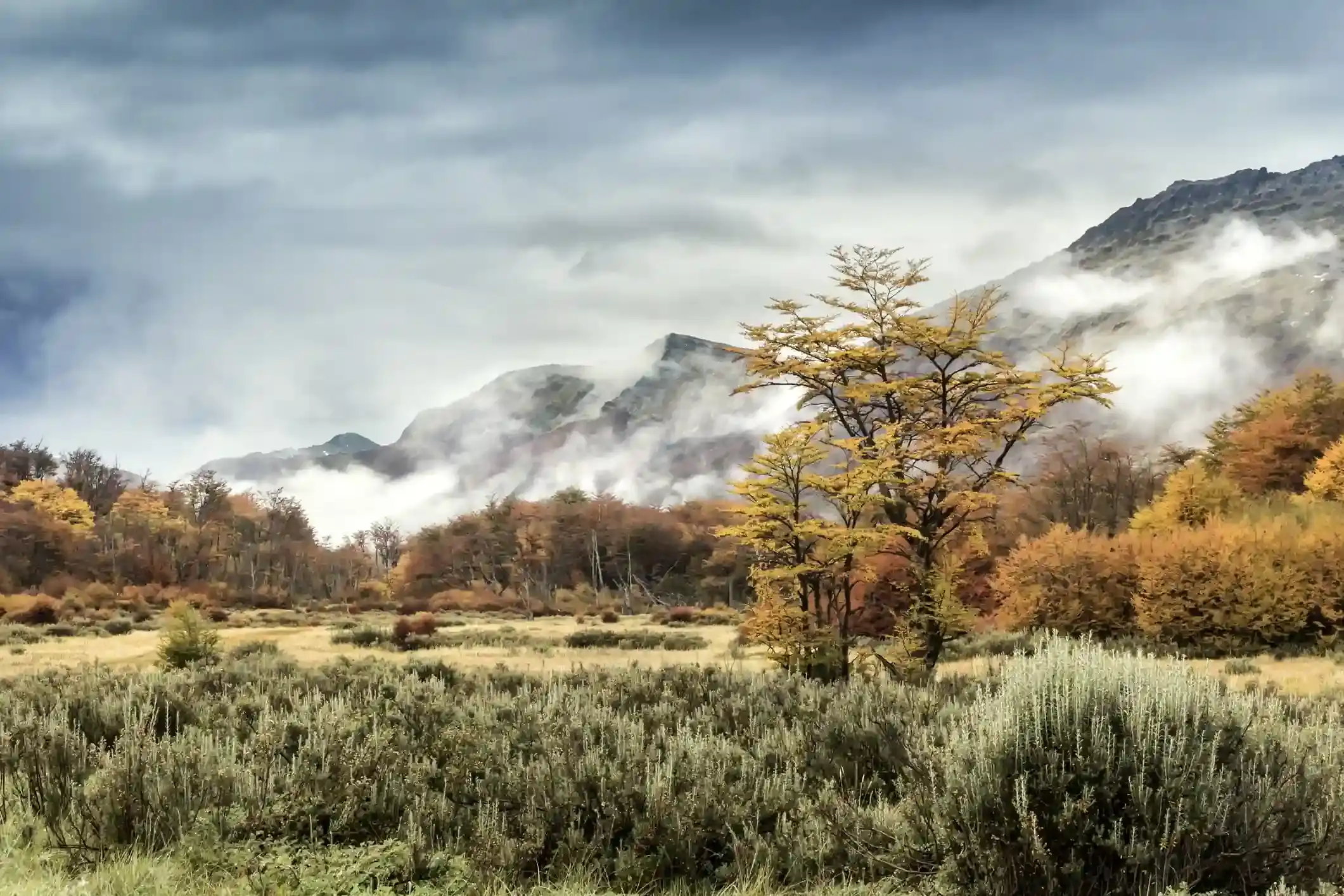
Sunlight through autumn beech forest in the southern Andes
Andes Crossing route

Lago Ranco to Huilo-Huilo: Panguipulli, the lake road and the rainforest

From the open farmland to the temperate rainforest in one day: 188 km north and east through Panguipulli to the Huilo-Huilo reserve, where the trees close over the road and the ferry waits for tomorrow.

South to north, the second riding day of our Andes Crossing. Data computed 2026-10-20, notes updated 2026-10-21.

  • 188 km117 miles
  • 74 % paved38 km gravel, 9 km untagged
  • 302 mhighest point, 1,703 m of climbing
  • 9 fuel stopslongest gap 56 km
  • 2.5 to 3.5 hriding time, stops not included
  • 4 windy daysgusts over 60 km/h in Jun
50 100 150 km 51: La Cascada del Sur, Paillaco km 52: Shell, Paillaco km 52: Copec, Paillaco km 75: Shell, Los Lagos km 78: SurEnergy, Los Lagos km 78: Copec, Los Lagos km 79: Copec, Los Lagos km 135: Aramco, Panguipulli km 135: Copec, Panguipulli Lago Ranco Neltume
Route traced on real roads with OSRM; orange dots are fuel stations within 1.5 km of the road, numbers are kilometres from the start. Open the area in OpenStreetMap.
32 m 167 m 302 m Paillaco Los Lagos Panguipulli 0 km 188 km
Elevation every kilometre (SRTM via Open-Meteo), from 32 to 302 m. Dashed lines are fuel stations.

What this stretch is

The second day links two lakes that are not connected by any direct road. From Lago Ranco the route runs back west to Ruta 5 at Paillaco, north on the Pan-American to Los Lagos, then east on the Panguipulli road, through the town of Panguipulli on its own lake, and finally along Ruta 203 past Choshuenco to Neltume, the village at the heart of the Huilo-Huilo biological reserve. It is 188 km, and the landscape changes completely in the last hour: farmland gives way to the Valdivian rainforest, with the Mocho-Choshuenco volcano above the trees.

OpenStreetMap tags 140 km as paved and 38 km as gravel or dirt, mostly on the roads around Lago Ranco at the start and the side roads near Neltume; 9 km are untagged. There is a scenic alternative that avoids Ruta 5 altogether: the north shore of Lago Ranco through Futrono and Llifén, then north to Lago Riñihue and along its shore to Choshuenco. It is longer, partly gravel, and worth asking about on the day, because it depends on the state of the gravel after rain.

Fuel: clusters and a 56 km gap

Nine stations, in three clusters: Paillaco at kilometre 52, Los Lagos at 75 to 79 with a 24-hour Copec, and Panguipulli at 135. The longest gap is the 56 km from Los Lagos to Panguipulli, and then 53 km from Panguipulli to Neltume, where there is no station: fill in Panguipulli, because tomorrow starts with the ferry and 135 km without fuel on the Argentine side. The fuel range calculator shows the day as comfortable on any bike; the point of filling in Panguipulli is the next day, not this one.

The weather

Same climate as the first day: January highs of 23 °C, five rainy days in summer, 13 in April and 17 in July, and no wind worth counting. The difference is the forest. Around Neltume it rains more than anywhere else on the tour, and the road under the trees stays wet for hours after a shower: ride the shaded corners near Huilo-Huilo as if they were damp even on a dry day.

Stops and detours worth the time

Panguipulli. The town of roses on the lake of the same name, at kilometre 135: the lunch stop, the last supermarket and the last cash machine before Argentina.

Choshuenco and Lago Panguipulli. Ruta 203 follows the lake’s southern shore for the last 50 km; the beach at Choshuenco is the classic photo stop with the volcano behind it.

Huilo-Huilo. The reserve around Neltume has the Salto del Huilo-Huilo waterfall a short walk from the road, the Montaña Mágica lodge that looks like a volcano with a waterfall on top, and trails into the forest. Our itinerary spends the night here so that the evening is free for the waterfall.

Lago Riñihue. If you take the back road, the shore of Riñihue is the quietest lake in the district and the road along it is the best gravel of the day.

Where to sleep

Panguipulli has hotels and cabins in every budget. Neltume and the reserve have the Huilo-Huilo lodges, which are the reason to stop here, plus cabins in the village and in Puerto Fuy on the lake, next to tomorrow’s ferry. Book the ferry and the lodge together: both fill in January.

Riding it with us

This is day two of our Andes Crossing: the forest day, ending at the lodge in Huilo-Huilo with the Pirihueico ferry booked for the morning. Read the Argentina versus Chile climate guide for why this side of the mountains rains the way it does, and the documentation guide tonight, because the border is tomorrow.
Fuel stations and gaps

Stations mapped in OpenStreetMap within 1.5 km of the road, with the kilometre from Lago Ranco. Hours are what OSM has, often nothing. Check this segment against your tank.

kmStationTownHours (OSM)
51La Cascada del SurPaillaco
52ShellPaillaco
52CopecPaillaco
75ShellLos Lagos
78SurEnergyLos Lagos
78CopecLos Lagos
79CopecLos Lagos24/7
135AramcoPanguipulli
135CopecPanguipulli
  • 56 km Los Lagos (km 79) to Panguipulli
  • 53 km Panguipulli (km 135) to Neltume
  • 51 km Lago Ranco (km 0) to Paillaco
  • 23 km Paillaco (km 52) to Los Lagos

Surface and roads

Kilometres by the surface tag of each road in OpenStreetMap. "Untagged" is road nobody has labelled yet, usually recent asphalt on main routes and gravel on minor ones.

  • Paved 140 km
  • Gravel and dirt 38 km
  • Untagged 9 km

Roads, by length: 203 38 km; T-39 35 km; 5 20 km; T-775 12 km; T-695 12 km; T-613 7 km.

Weather by month, ten years measured

ERA5 reanalysis, 2016 to 2025, at a point halfway along the segment (-39.78, -72.69). Temperatures are the monthly mean of the daily high and low; wind is the mean daily maximum; gusty days count days with gusts above 60 km/h. The riding window on these numbers runs Sep to May, with Dec the calmest month inside it. Compare regions in the season planner.

MonthHigh °CLow °CWind km/hGusty daysRain daysSnow days
Jan 23 11 20 1 5 0
Feb 24 11 19 1 5 0
Mar 20 9 18 1 8 0
Apr 16 7 16 2 13 0
May 13 5 16 2 14 0
Jun 11 4 18 4 18 0
Jul 10 3 17 3 18 0
Aug 11 4 17 3 17 0
Sep 13 4 18 1 14 0
Oct 15 6 18 1 13 0
Nov 18 8 19 1 10 0
Dec 21 10 19 0 8 0
Read before you ride

Guides for this road

Motorcycle on a gravel road through a rocky Patagonian canyon under clear blue sky. Patagonia

The Best Time to Ride Patagonia: Month-by-Month Guide

In early January, the wind on the southern stretch of Ruta 40 between Perito Moreno and El Calafate can push a fully loaded adventure bike sideways across half a lane, in broad daylight, on dry...

12 min read
A motorcycle rider on a paved road approaching the red rock formations of the Quebrada de las Conchas near Cafayate, Argentina. Tips

How to Plan a Motorcycle Trip to Argentina: A 2026 Guide

Somewhere around the third planning session, every rider runs into the same wall: Argentina is 3,700 km (2,300 mi) long from the subtropical north to Tierra del Fuego, the riding seasons in those...

14 min read
Ride it with the van behind you

This is a day on our Patagonia itinerary.

Small groups of 4 to 8 riders, a support van with spare fuel for the Bajo Caracoles gap, and guides who know which pump is open this week.