What this stretch is
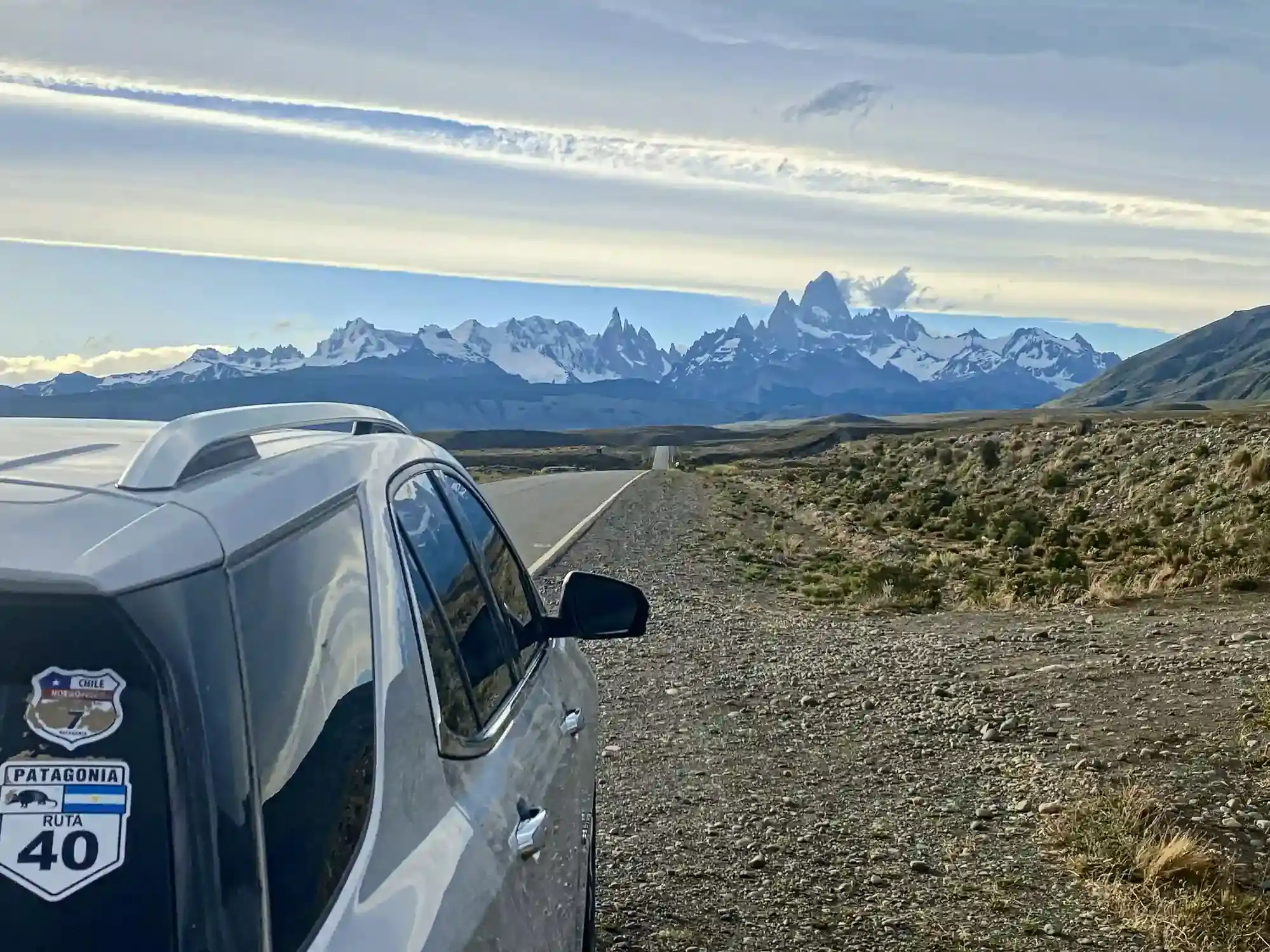
From Gobernador Gregores, Ruta 40 heads south-west across the emptiest part of Santa Cruz to Tres Lagos, then the route leaves Ruta 40 for Ruta Provincial 23, which runs west along the north shore of Lago Viedma straight at the Fitz Roy. It is 298 km, and the last 90 of them are the most photographed approach in Patagonia: the massif grows in the windscreen for an hour before you reach El Chaltén.
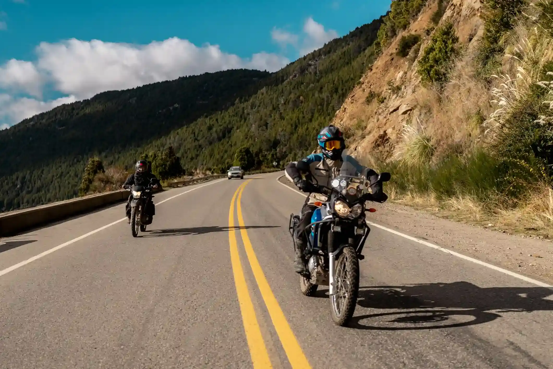
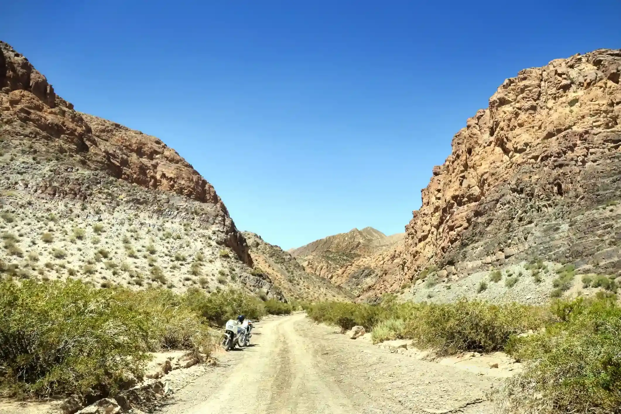
It is also the segment with the most gravel. OpenStreetMap tags 74 km as gravel or dirt, almost all of it on Ruta 40 between Gobernador Gregores and Tres Lagos, where the paving of the road has stalled for years; 185 km are paved and 39 km untagged. The gravel is wide, graded and fast when dry, with deep loose stone on the edges and corrugations on the climbs. In rain it turns to paste. Ruta Provincial 23 is good asphalt the whole way.
Fuel: three pumps, 175 km between the first two
Three stations on the whole segment: the 24-hour YPF at the entrance to Gobernador Gregores, the pump at Tres Lagos at kilometre 176, and the YPF in El Chaltén at kilometre 295. That makes two gaps, 175 km from Gregores to Tres Lagos, most of it on gravel and all of it in the wind, and 119 km from Tres Lagos to El Chaltén.
The Tres Lagos pump is small, keeps short hours, and is supplied by truck like Bajo Caracoles. Treat it as a bonus: plan to reach El Chaltén from Gobernador Gregores on one tank with the gravel-and-wind factor applied, and fill at Tres Lagos if it is open. The fuel range calculator marks the first gap as tight for most 16-litre bikes once you select the gravel and wind setting.
El Chaltén has one YPF and it queues in January. Fill in the evening when you arrive rather than in the morning when every rental car is doing the same.
The wind
By the numbers this is the windiest segment of the twenty in our atlas: at the midpoint, January averages 21 days with gusts above 60 km/h, December 19, November and October 17. The average daily maximum is 33 km/h in December. The wind comes off the ice field from the west, so on Ruta 40 it is a crosswind and on the Lago Viedma road it is a headwind that can hold a loaded bike at 70 km/h with the throttle open.
Three rules for the day. Start early, because the wind builds through the afternoon. Keep your speed down on the gravel when a gust is coming, because the front wheel goes light before the rest of the bike moves. And add 30 % to your fuel consumption, which is what the calculator’s wind setting does.
Stops and detours worth the time
Tres Lagos. A village of a few hundred people at kilometre 176 with a pump, a shop, a campsite and a hostería. It is the only lunch stop on the segment, and the last chance to sit out of the wind before the lake road.
Lago Viedma viewpoints. Ruta Provincial 23 runs for an hour along the lake with the Fitz Roy and Cerro Torre ahead. Every pull-off is a photo; the best light is late afternoon, when the massif turns orange, which is also when the wind is worst. Choose.
Parque Nacional Perito Moreno. From Las Horquetas, back on the previous segment, Ruta Provincial 37 leads 90 km west to the park. It is not on the way, but if you have a day to spare between Gregores and El Chaltén it is the wildest park in the south.
El Chaltén itself. Argentina’s trekking capital. The Laguna de los Tres walk to the foot of the Fitz Roy is a full day on foot; Laguna Capri is a half day. Our itinerary gives a rest day here for exactly that.
Where to sleep
Gobernador Gregores has several hotels and is a quiet, practical stop. Tres Lagos has a hostería and a campsite if the wind beats you. El Chaltén has dozens of hotels, hostels and cabins, all of them full from Christmas to the end of February: book months ahead for summer, and consider March, when the crowds thin, the wind drops a little and the lenga beeches turn red.
Riding it with us
This is day four of our Patagonia motorcycle tours: the gravel day, with the support van behind the group carrying fuel for the Gregores to Tres Lagos gap. Read the Ruta 40 rider’s guide first, and the Argentina versus Chile Andes climate guide for why the wind here is different from anywhere else on the road.