What this stretch is
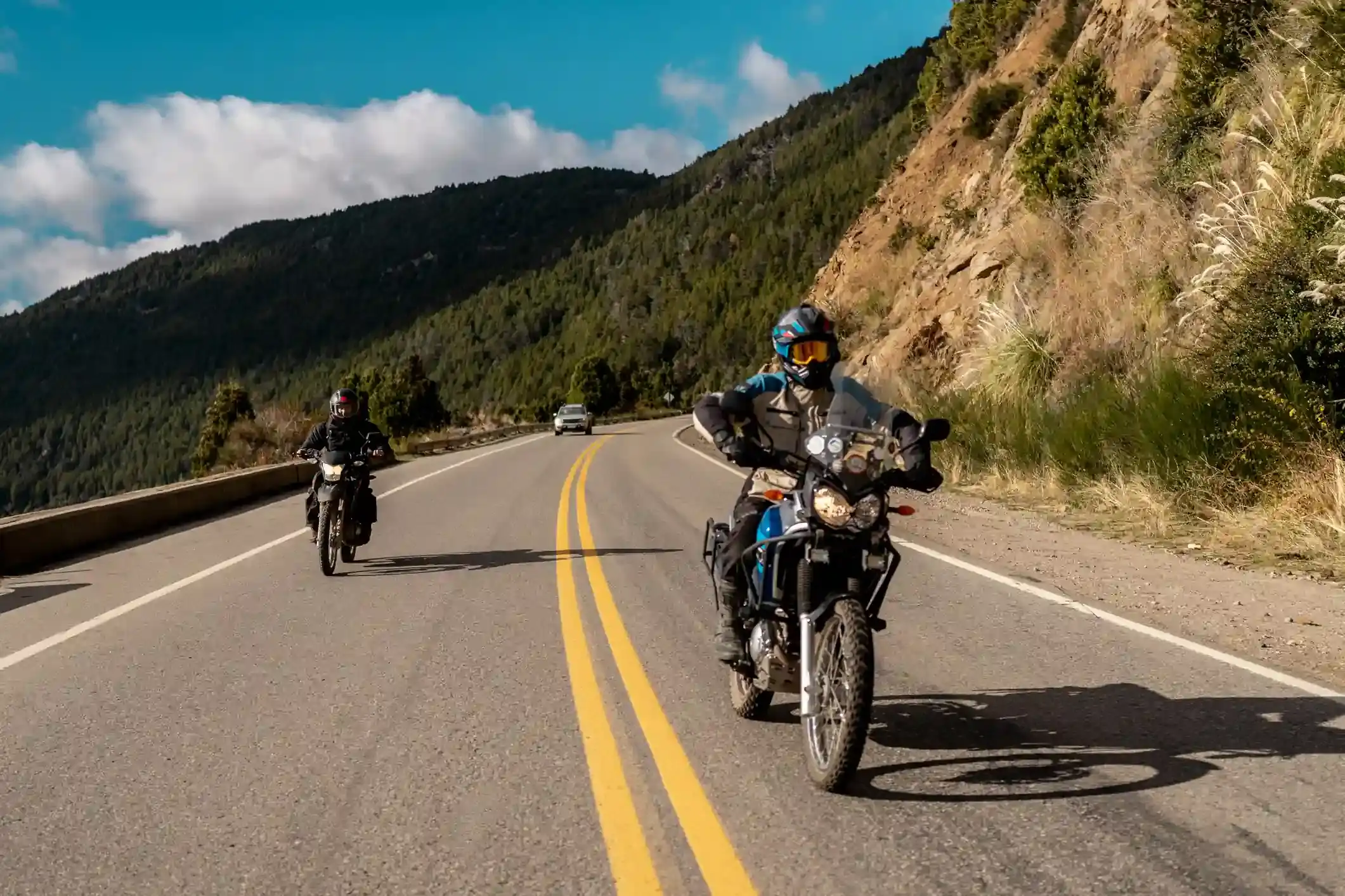
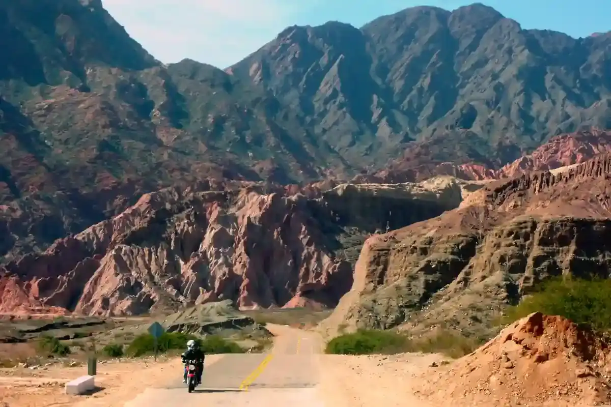
El Chaltén to El Calafate is 213 km and feels like a half day on the map. It is not. The first 90 km retrace Ruta Provincial 23 east along Lago Viedma with the Fitz Roy in the mirrors, then the route turns south onto Ruta 40 for 86 km of open steppe past the La Leona roadhouse, and finally west on Ruta Provincial 11 along the north shore of Lago Argentino into El Calafate. Three roads, three directions, and the wind finds you on every one of them.
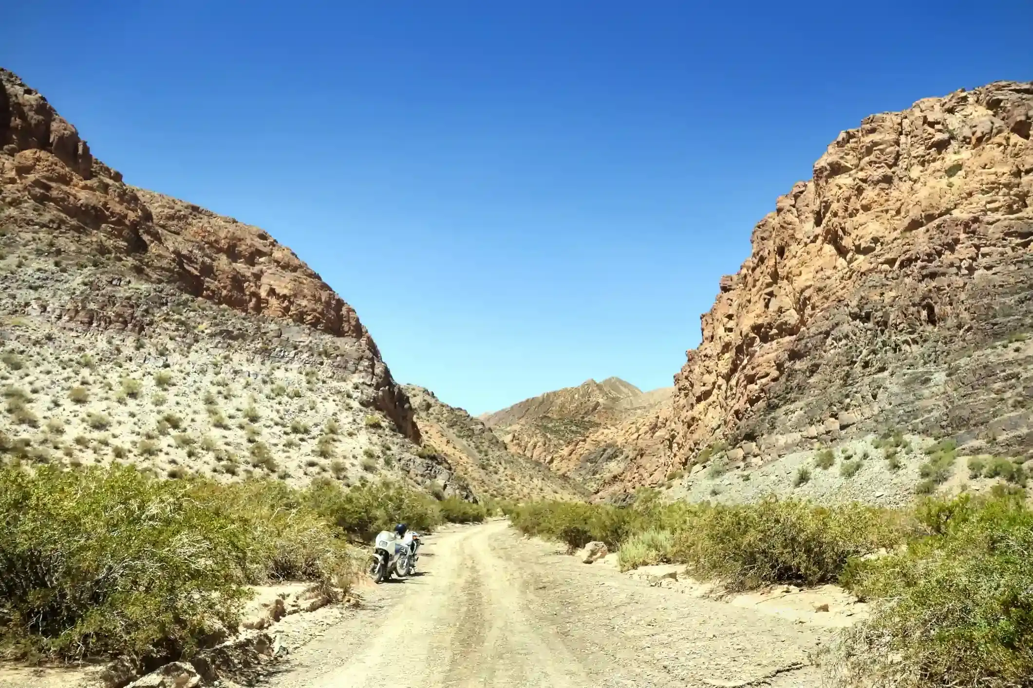
The surface is easy: 169 of the 213 km are tagged as paved, only 9 km as gravel or dirt, and the 35 untagged kilometres are asphalt on Ruta 40 and the approach to El Calafate. This is also the lowest segment of the five, never above 418 m, which is why the lakes here are the colour they are.
Fuel: one pump at each end
Four stations, all of them in the two towns: the YPF in El Chaltén at kilometre 1, and the two YPF and the Axion in El Calafate from kilometre 209. In between, 208 km without fuel. The La Leona roadhouse sells coffee and empanadas, not petrol, and OpenStreetMap agrees. Leave El Chaltén full and the day is comfortable on any adventure bike; leave it on half a tank with the wind up and it is not. The fuel range calculator shows the gap as tight for a 14-litre tank with the wind setting on.
The El Chaltén YPF is the one that queues in summer, so fill the evening before. El Calafate has fuel on both sides of town and keeps long hours.
The wind
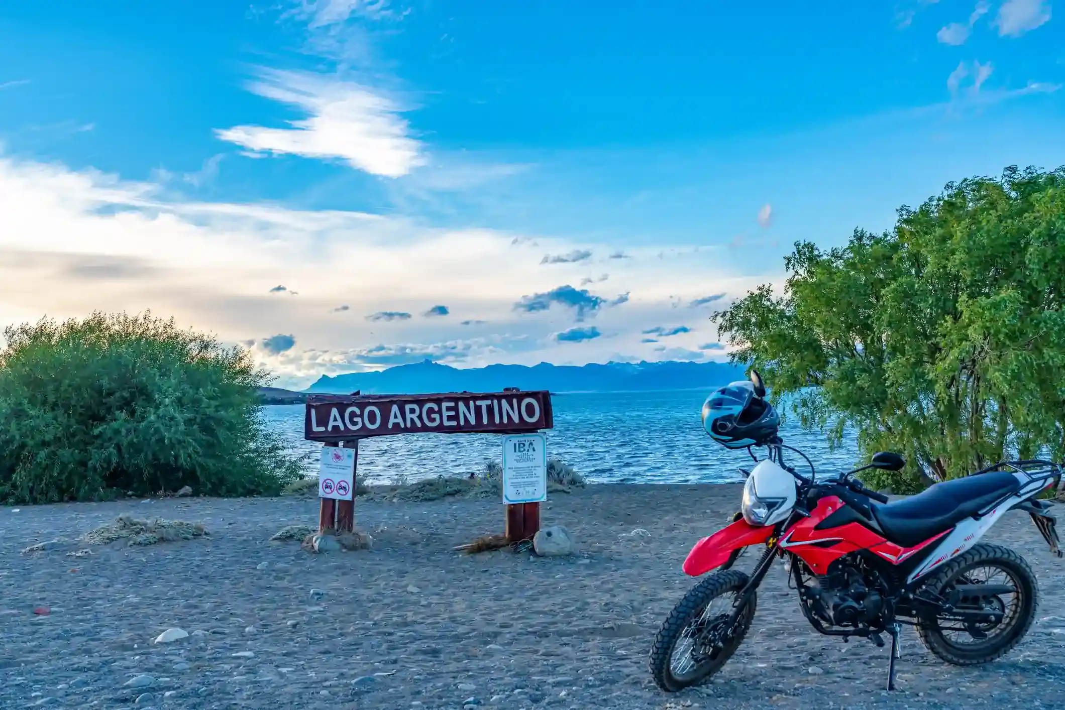
The segment averages a daily maximum of 36 km/h in January and December at the midpoint, with 17 days a month of gusts over 60 km/h. On the lake road east from El Chaltén the wind is behind you, which feels wonderful for an hour; on Ruta 40 it is a crosswind from the right; on the Lago Argentino shore it is a headwind, with the flat open water on your left and nothing to break it. The last 30 km into El Calafate are often the hardest of the day.
The season is short. Highs above 12 °C run from November to March; by April the average high is 11 °C and the snow days start; from May to August the midpoint averages a high of 4 to 7 °C and two to three days of snow a month. The wind, oddly, drops with the cold: May and June have fewer than two gusty days a month, which is why a few hardened riders come in the shoulder months.
Stops and detours worth the time
Hotel La Leona. The roadhouse at the Río La Leona crossing on Ruta 40 dates from 1894 and, according to the story everyone there will tell you, Butch Cassidy and the Sundance Kid stayed a month in 1905 after the Río Gallegos bank robbery. It is the only building on the segment, and the right place for the coffee stop.
Lago Argentino shore. Ruta Provincial 11 gives you the lake for the last 50 km. Punta Bandera and the boat harbour are west of town, on the road to the glacier.
Perito Moreno glacier. Not on this segment but the reason most people come: 80 km west of El Calafate on Ruta Provincial 11, inside Los Glaciares national park. Half a day on the walkways, a full day with a boat. Our itinerary ends in El Calafate so that the glacier is the next morning.
Where to sleep
El Chaltén has plenty of beds but fills in summer; El Calafate has far more, from hostels to the big hotels on the hill, and is the end of the road for most riders, so return flights and bike logistics are easy. There is nothing between the two towns except La Leona, which has a handful of rooms.
Riding it with us
This is day five, the last of our Patagonia motorcycle tours south, and the day the group rides easy because the glacier is tomorrow. Read the Ruta 40 rider’s guide for the whole road and the best time to ride Patagonia before you choose your month.